Advanced 3D scanning
for the precise mapping of
buildings,
structures, and landscapes.
Using laser scanners and drones (photogrammetry), we deliver top-quality results for renovation projects, preliminary assessments, building surveys, restoration, and BIM modeling.
High-Resolution Scanning
Custom Solutions
Mesh Optimization
Fast Turnaround

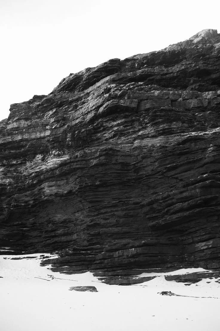
The laser 3D scanning technology we utilize is ideal for the precise mapping of buildings, structures, and landscapes. Through laser scanning, we can capture every detail of the environment with exceptional accuracy and speed. This process ensures the creation of a 3D model that accurately represents the current state of the space, making it perfect for renovation projects, the restoration of listed buildings, or the development of new construction projects.
Photogrammetry and the use of drones are integral to our expertise in capturing landscapes, buildings, and structures. The technology we employ allows us to create accurate 3D models and maps from photographs, delivering reliable results for both small and large areas. By utilizing drones, we can scan and document hard-to-reach locations, achieving exceptional resolution and detail
WHY CHOOSE PRESTIGE 3D SCANNING
By choosing our company, you choose a team of professionals who combine innovative technology with specialized knowledge in 3D scanning. The use of laser scanning, drones, and photogrammetry ensures precise documentation of your projects, from the initial design to the completion of construction. We specialize in renovation, restoration, and BIM modeling projects, offering solutions that integrate the highest quality and accuracy. Our top-tier service and fast delivery make us the right choice for any project.